
About Nile DEWS
Drought is a crucial threat to living beings in general and stakeholders like farmers in particular.
Drought has been one of humanity's most significant natural challenges since ancient times. Despite advancements in science and technology, drought remains the most severe threat to agricultural productivity and human well-being across the globe. In recent decades, the frequent occurrence of droughts has emerged as a major environmental and climatic challenge of the 21st century.
- As the global population continues to grow and socio-economic development accelerates, the issue of water scarcity has gained increasing attention.
- This scarcity could lead to the expansion of areas already affected by drought, further intensifying the severity of these events. Such developments are likely to have profound implications for future socio-economic progress.
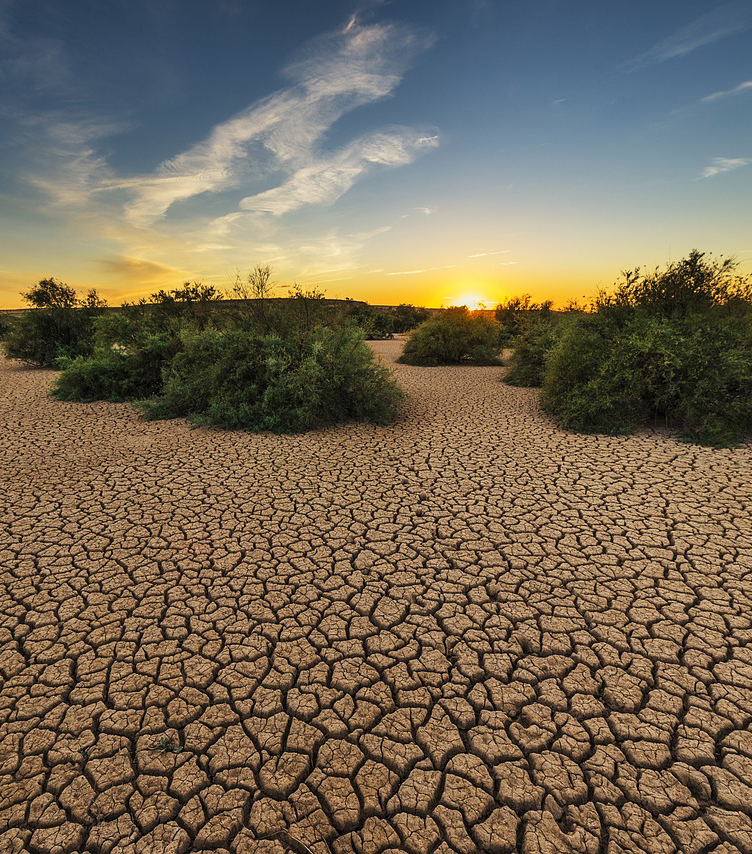
- The Nile Basin is known to be prone to extreme climatic events like drought. Successive years of low and erratic rainfall have left large area of the Eastern Nile in severe drought that caused crop failure and water storage, which resulted in serious food insecurity in the region. Hence, urgent action and collective efforts are imperative to mitigate future water crises intensified by the climate change.
In the light of this, to mitigate the drought impact, building climate resilience in the Nile Basin countries will require robust regional information services to predict drought and the capacity to plan and implement measures to mitigate those risks. Thus, the development of Drought Early Warning System (DEWS) is the first step to mitigate Nile wide drought. DEWS plays a crucial role in drought risk management by linking risk-related data with communication channels to deliver timely alerts, enabling effective preparation and response to drought conditions.
Developing DEWS for the Nile Basin is critical given the region's reliance on the Nile River for various sectors. The system integrates various data sources to monitor and predict drought conditions across the basin's diverse and expansive geography. The system provides drought warnings using three meteorological indices (i.e., SPI, SPEI, and LSTCI), two agricultural indices (i.e., VHI, SMAPI, and MAI), and one hydrological index (i.e., SSI), as well as a composite drought index (CDI) for both historical and forecasted periods. It offers temporal coverage at various intervals, including fortnightly, 1-month, 3-month, and 6-month periods for both past and forecasted data. Besides, Nile DEWS also offers spatial coverage at various level such as at grid level, 81 sub-basins level, 10 basins level, and 10 countries level.